Innovyze Releases InfoSWMM SA Product Portfolio of Next-Generation GIS-Based Sewer Modeling Solutions
Revolutionary Release Powers Advanced GIS-Enabled Sewer Network Modeling Applications in Stand-Alone Environment, Dramatically Expands Geospatial Simulation Capabilities and Flexibility for High-Performance Analysis
Broomfield, Colorado, USA, February 21, 2017
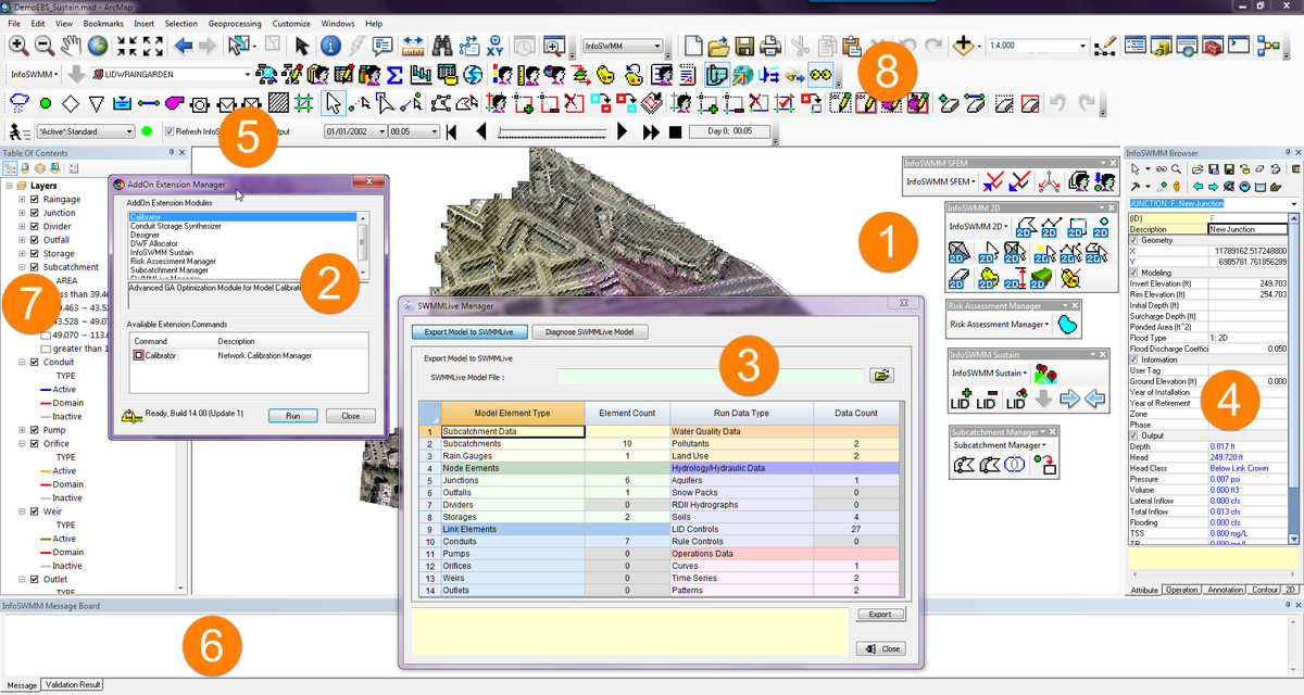
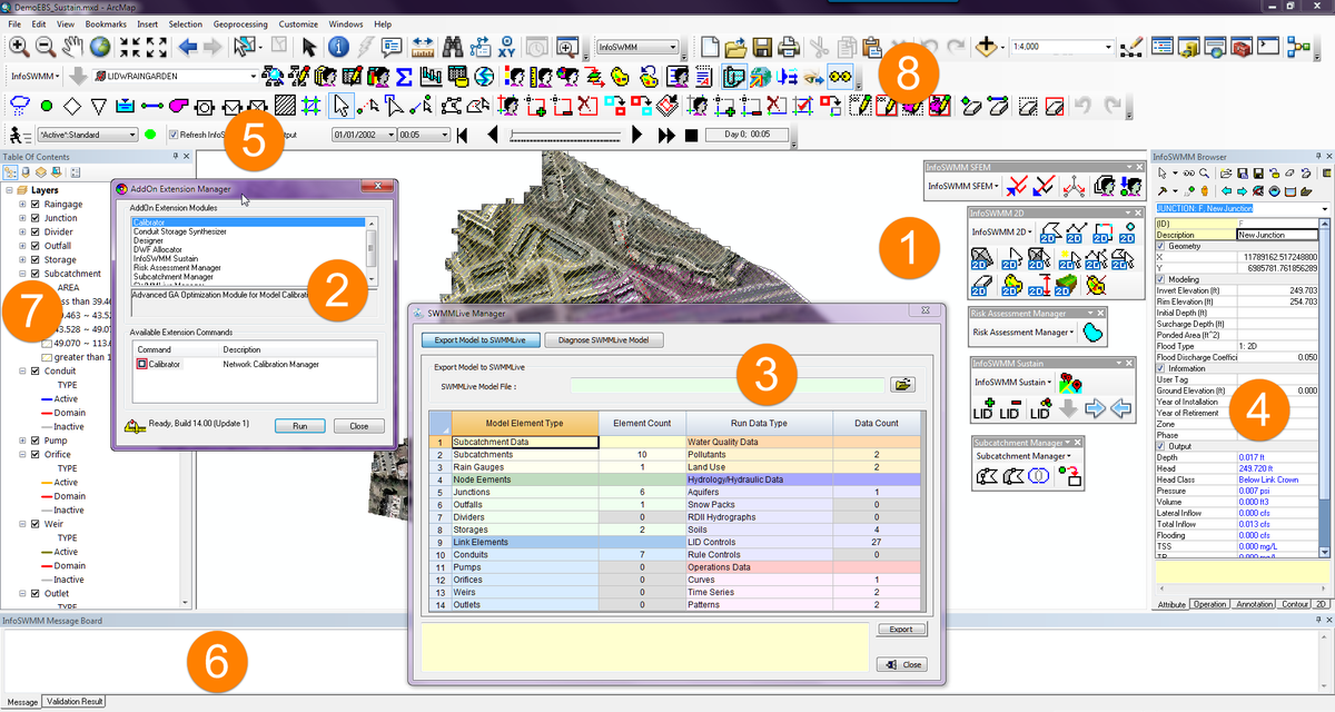
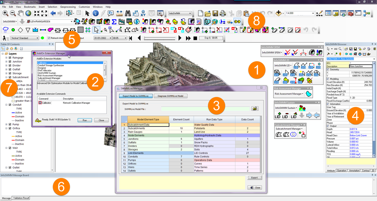
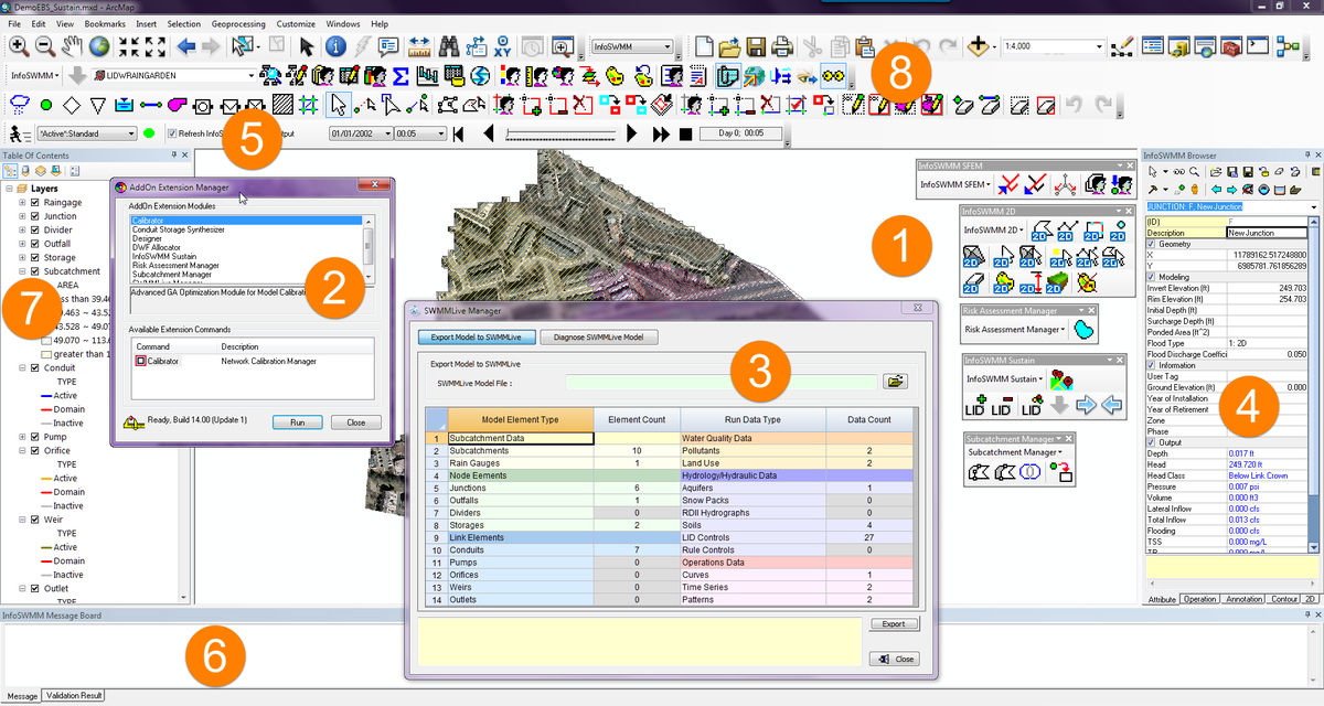
Innovyze, a leading global innovator of business analytics software and technologies for smart wet infrastructure, today announced the worldwide release of the InfoSWMM SA (Stand-Alone) product portfolio. Marrying the most advanced engineering-GIS capabilities and functionality with the physics-based world of wastewater and stormwater network simulation, the new InfoSWMM SA product family provides a complete stand-alone infrastructure that addresses all sewer network modeling applications. It is the next-generation of the H2OMAP SWMM product portfolio.
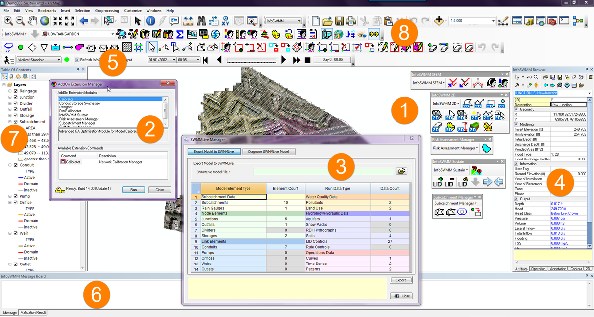
Available today, the unique InfoSWMM SA architecture enables organizations to leverage all the GIS capabilities and functionality of ArcGIS-integrated InfoSWMM to deliver comprehensive geospatial network modeling. The GIS-based stand-alone architecture comes equipped with everything wastewater/stormwater utility owner-operators need to best plan, design, operate, secure and sustain their collection systems. It comprises InfoSWMM SA, InfoSWMM SA 2D (two-dimensional surface flood modeling), InfoSWMM SA Sustain (optimal selection and placement of green infrastructure) and InfoSWMM SA SFEM (dynamic sewer flow estimation model).
These advancements propel the InfoSWMM SA family of solutions into the next generation of stand-alone engineering-GIS modeling, furthering Innovyze’s time-honored practice of continually adding critical value to its software and bringing unsurpassed modeling and design capabilities into the mainstream. The suite has the robustness and feature set needed to handle the most demanding analyses. Yet it’s intuitive enough for new users to master without a drawn-out learning curve, making it the ultimate GIS-based decision support tool for sewer collection systems. Like all Innovyze products, InfoSWMM SA is backed by unparalleled high-touch technical support. For an even faster return on investment, organizations may opt to call on Innovyze Implementation Services to accelerate deployment, integration and implementation of best modeling practices.
“The InfoSWMM SA product portfolio represents the most significant leap forward in stand-alone GIS-based network modeling,” said Paul F. Boulos, Ph.D., BCEEM, Hon.D.WRE, Dist.D.NE, Dist.M.ASCE, NAE, President, COO and Chief Innovation Officer of Innovyze. “We’re excited to offer this breakthrough GIS-based framework across our entire H2OMAP SWMM portfolio, along with our mission-critical two-dimensional surface flood modeling (InfoSWMM SA 2D) and green infrastructure optimization (InfoSWMM SA Sustain) applications for the first time. This powerful portfolio will create a compelling advantage for wastewater/stormwater utilities worldwide, making it easier for them to operate, manage and sustain high-performing, highly efficient collection systems — imperative in today’s economy — and meet the needs of their customers. No other company in the world can match the comprehensiveness of our collection system modeling solution set or provide the same level of GIS integration. Our superior smart sewer network modeling and management solutions suite provides wastewater operators and engineers with the ultimate decision support tool for optimal results.”
Pricing and Availability
InfoSWMM SA, InfoSWMM SA Suite and InfoSWMM SA Executive Suite are now available worldwide by subscription. Special upgrade prices are available for all existing H2OMAP SWMM users. Contact your local Innovyze Client Service Manager/Channel Partner for information on purchasing or upgrading.
About InnovyzeInnovyze is a leading global provider of wet infrastructure business analytics software solutions designed to meet the technological needs of water/wastewater utilities, government agencies, and engineering organizations worldwide. Its clients include the majority of the largest UK, Australasian, East Asian and North American cities, foremost utilities on all five continents, and ENR top-rated design firms. Backed by unparalleled expertise and offices in North America, Europe, and Asia Pacific, the Innovyze connected portfolio of best-in-class product lines empowers thousands of engineers to competitively plan, manage, design, protect, operate, and sustain highly efficient and resilient infrastructure systems, and provides an enduring platform for customer success. For more information, call Innovyze at +1 626-568-6868, or visit www.innovyze.com.
Innovyze Contact:Rajan RayDirector of Marketing and Client Service Manager
Rajan.Ray@innovyze.com
+1 626-568-6868


 Robert Dickinson
